


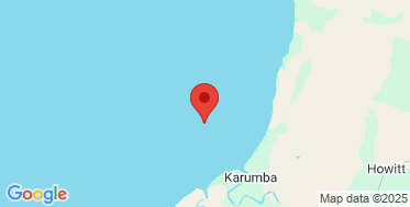
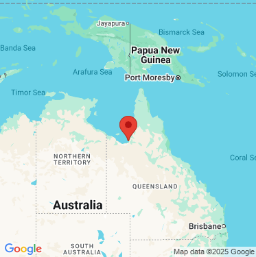
Karumba wave monitoring
New wave monitoring pages
The interactive charts are now the default for our wave monitoring pages. You can still switch to the previous version.
Recent activity
-
Significant wave height about this measurement
0.11m
-
Peak energy period about this measurement
20s
-
Wave direction about this measurement
284° WNW
-
Sea surface temperature about this measurement
22.5°C
Recorded Today 2.55pm
Learn how to read the graphs to understand how the data provides information on the current wave conditions.
View instructions on how to export data, view data as a table, or zoom in to a time period on the interactive graphs.
Wave height about this measurement
Wave period about this measurement
Wave direction about this measurement
Sea surface temperature about this measurement
Tide times
Tide table: Visit the Bureau of Meteorology website
Wave buoy information
- Date of installation
- 2 May 2025
- Current location
- Latitude: -17.354867
Longitude: 140.728233 - Water depth
- 9 metres
- Instrument
- Sofar Spotter
Jointly operated by DETSI in partnership with AIMS, UWA and IMOS
See other Far North Queensland monitoring sites.
Download data
All wave monitoring sites data for the last seven days.

 Open in Google Maps
 Open in Google Maps