


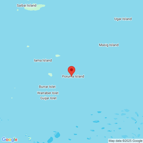
Poruma West wave monitoring
New wave monitoring pages
The interactive charts are now the default for our wave monitoring pages. You can still switch to the previous version.
Recent activity
-
Significant wave height about this measurement
0.48m
-
Maximum wave height about this measurement
0.79m
-
Peak energy period about this measurement
4s
-
Wave direction about this measurement
138° SE
-
Sea surface temperature about this measurement
28.1°C
Recorded 1 Aug 2025 4.30pm
Learn how to read the graphs to understand how the data provides information on the current wave conditions.
View instructions on how to export data, view data as a table, or zoom in to a time period on the interactive graphs.
Wave height about this measurement
Wave period about this measurement
Wave direction about this measurement
Current speed and direction about this measurement
Sea surface temperature about this measurement
Tide times
Tide table: Visit the Bureau of Meteorology website
Wave buoy information
- Date of installation
- 6 March 2020
- Current location
- Latitude: -10.0532830000
Longitude: 143.0518830000 - Water depth
- 18 metres
- Instrument
- Datawell Mk4 0.9m Waverider Buoy
Jointly operated by the Department of Environment, Science and Innovation and Australian Maritime Safety Authority.
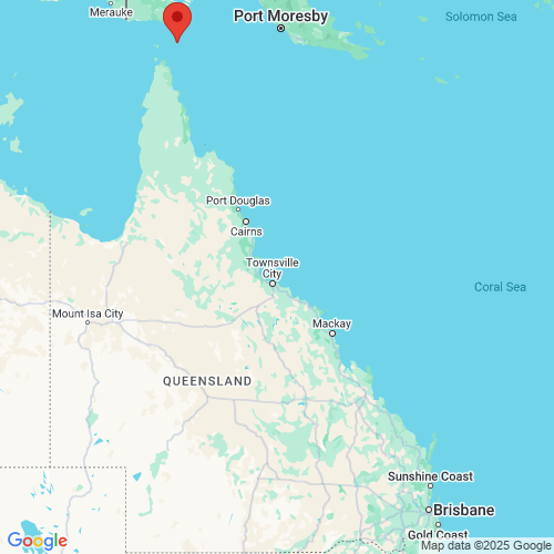
See other Far North Queensland monitoring sites.
Download data
All wave monitoring sites data for the last seven days.

 Open in Google Maps
 Open in Google Maps