


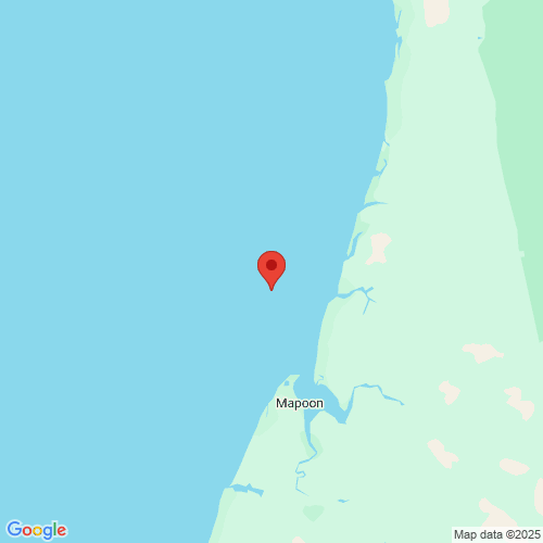
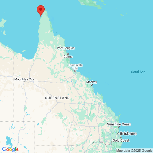
Skardon River Outer wave monitoring
New wave monitoring pages
The interactive charts are now the default for our wave monitoring pages. You can still switch to the previous version.
Recent activity
-
Significant wave height about this measurement
0.58m
-
Maximum wave height about this measurement
1.00m
-
Peak energy period about this measurement
6s
-
Wave direction about this measurement
209° SSW
-
Sea surface temperature about this measurement
27.0°C
Recorded 11 Aug 2025 4.00pm
Learn how to read the graphs to understand how the data provides information on the current wave conditions.
View instructions on how to export data, view data as a table, or zoom in to a time period on the interactive graphs.
Wave height about this measurement
Wave period about this measurement
Wave direction about this measurement
Current speed and direction about this measurement
Sea surface temperature about this measurement
Tide times
Tide table: Visit the Bureau of Meteorology website
Wave buoy information
- Date of installation
- 6 January 2019
- Current location
- Latitude: -11.7463830000
Longitude: 141.8345670000 - Water depth
- 22 metres
- Instrument
- Datawell Mk4 0.9m Waverider Buoy
Jointly operated by the Department of Environment, Science and Innovation and Metro Mining Limited.
See other Far North Queensland monitoring sites.
Download data
All wave monitoring sites data for the last seven days.

Maps
 Open in Google Maps
 Open in Google Maps
Wave monitoring disclaimer
These pages copyright ©2025 Queensland Government (Department of the Environment, Science, Tourism and Innovation).
The materials presented on this web site are distributed by the Queensland Government as an information source only.
While reasonable care and attention has been exercised in the collection and processing of this data it must be treated as unverified.
The State of Queensland makes no statements, representations or warranties about the accuracy or completeness of, and you should not rely on, any information contained on this web site. The State of Queensland disclaims all responsibility for information contained on this web site and all liability (including without limitation, liability in negligence) for all expenses, losses, damages and costs you may incur as a result of the information being inaccurate or incomplete in any way for any reason.
You should always check with the Bureau of Meteorology for the latest weather and coastal waters forecasts for your area before putting to sea.