Petrie Terrace - Heritage and music digital trail
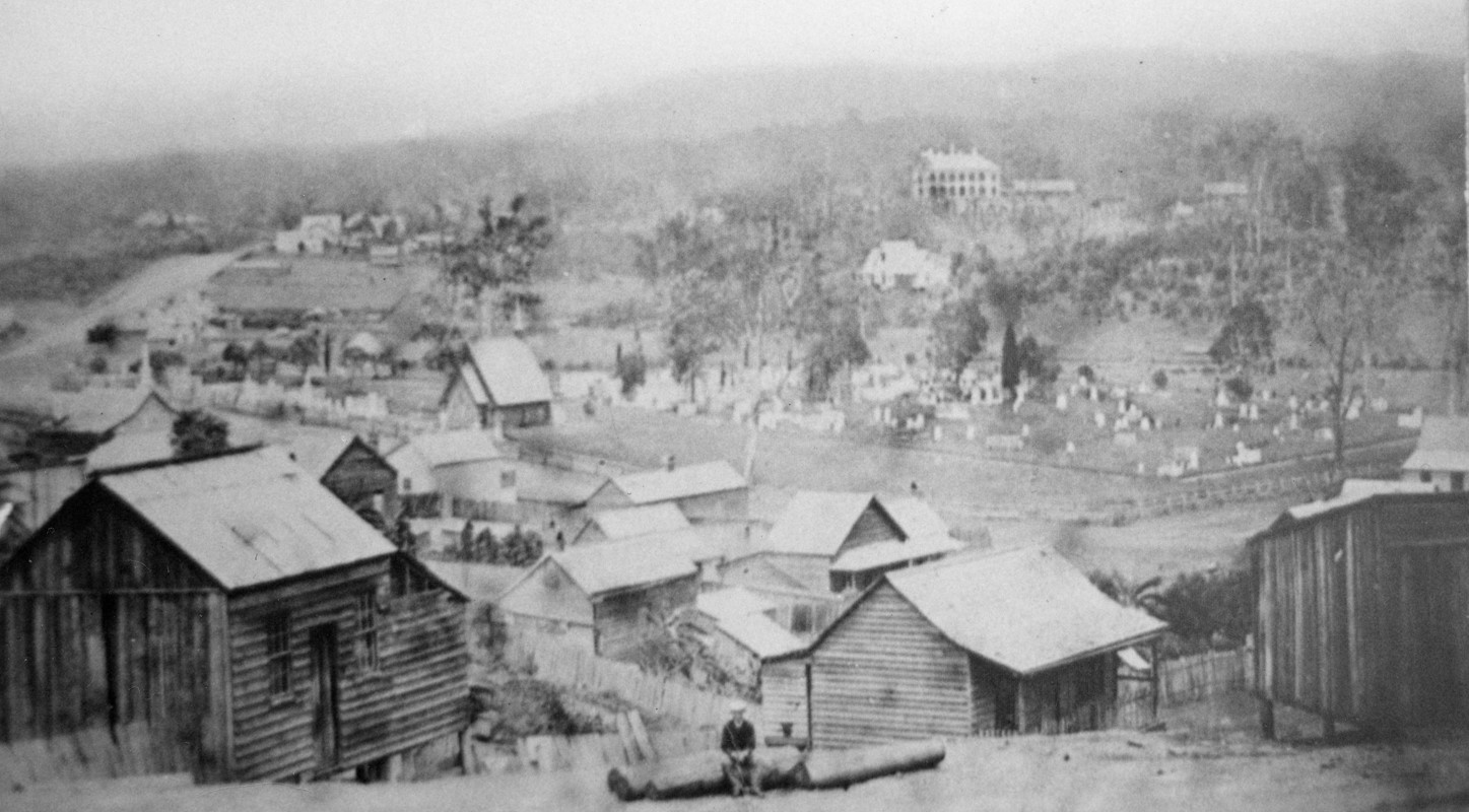
The ridgeline and area beyond what we now know as Petrie Terrace, traditional country of the Turrbal and Jaggera, doesn’t appear on the earliest maps of Brisbane—as it was beyond the limits of the Moreton Bay Penal settlement. In 1843, as free settlement began, land was surveyed for a new cemetery. The North Brisbane Burial Ground, most of which now sits under Lang Park, housed the area’s first ‘permanent’ colonial residents. The first buildings to appear on the ridgeline were those of the new Brisbane Gaol, followed soon after by Victoria Barracks appear. This was the fringe of Brisbane Town.
In 1861, the land between Brisbane the cemetery and gaol was auctioned off. The best sites for housing and commerce were on the elevated ridge, which soon became known as Petrie Terrace. The sloping land below was subdivided into much smaller residential allotments.
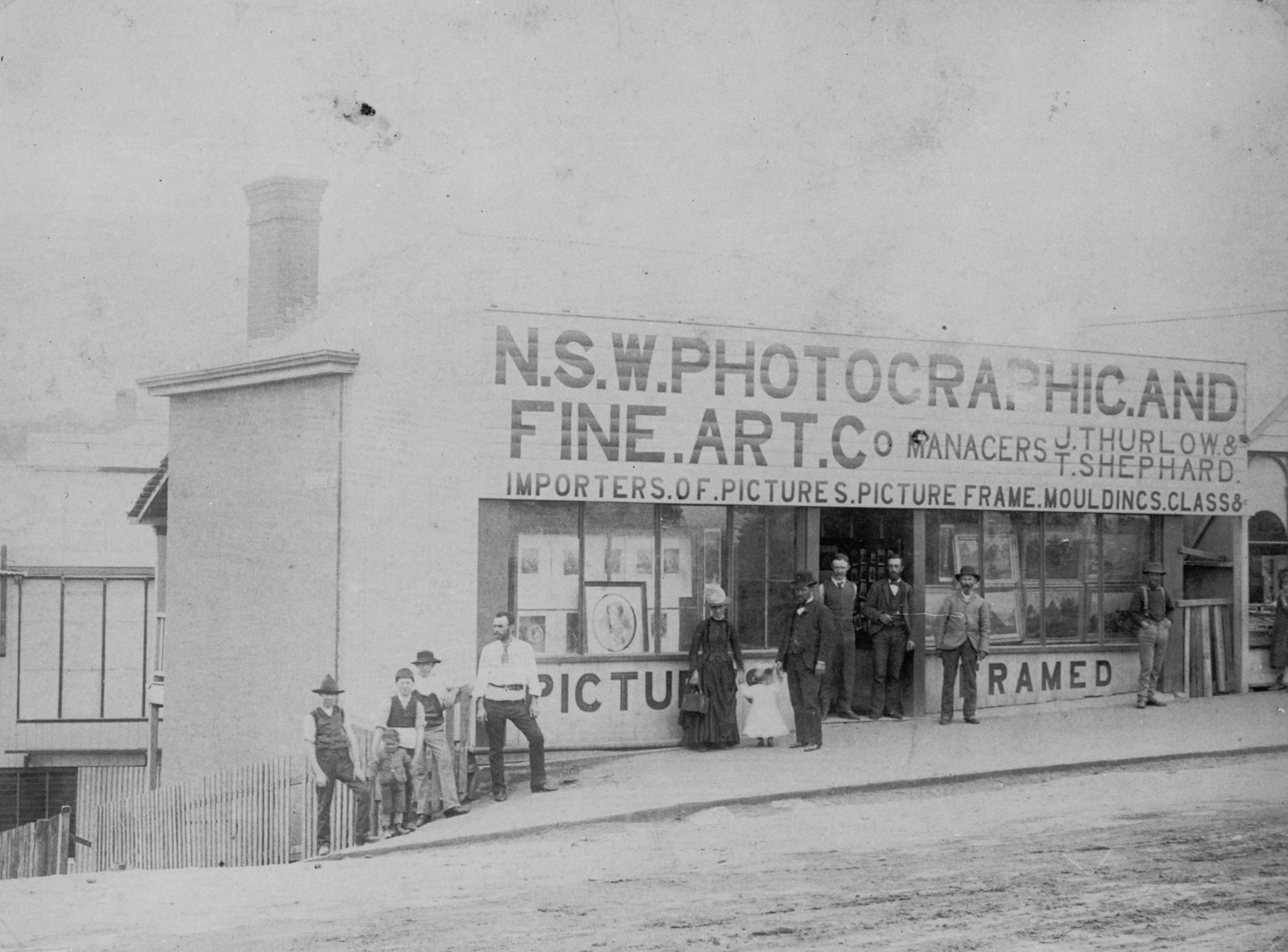
A cluster of commercial activity developed on the junction of Petrie Terrace and the government road to the cemetery—Caxton Street.
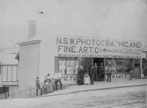
During the 1870s light industrial and manufacturing activity increased, providing employment for a predominantly working-class population. The boom-era of the 1880s saw the built environment transformed with impressive new masonry structures.
In the 1930s Petrie Terrace was one of the most densely populated pockets of Brisbane, with many houses letting out individual rooms to boarders. However, like many other inner urban localities, in the post-war period, a gradual decline began, with an ‘increasingly dwindling, aging and childless population.’
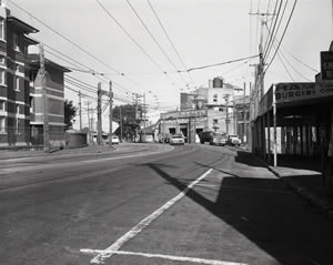
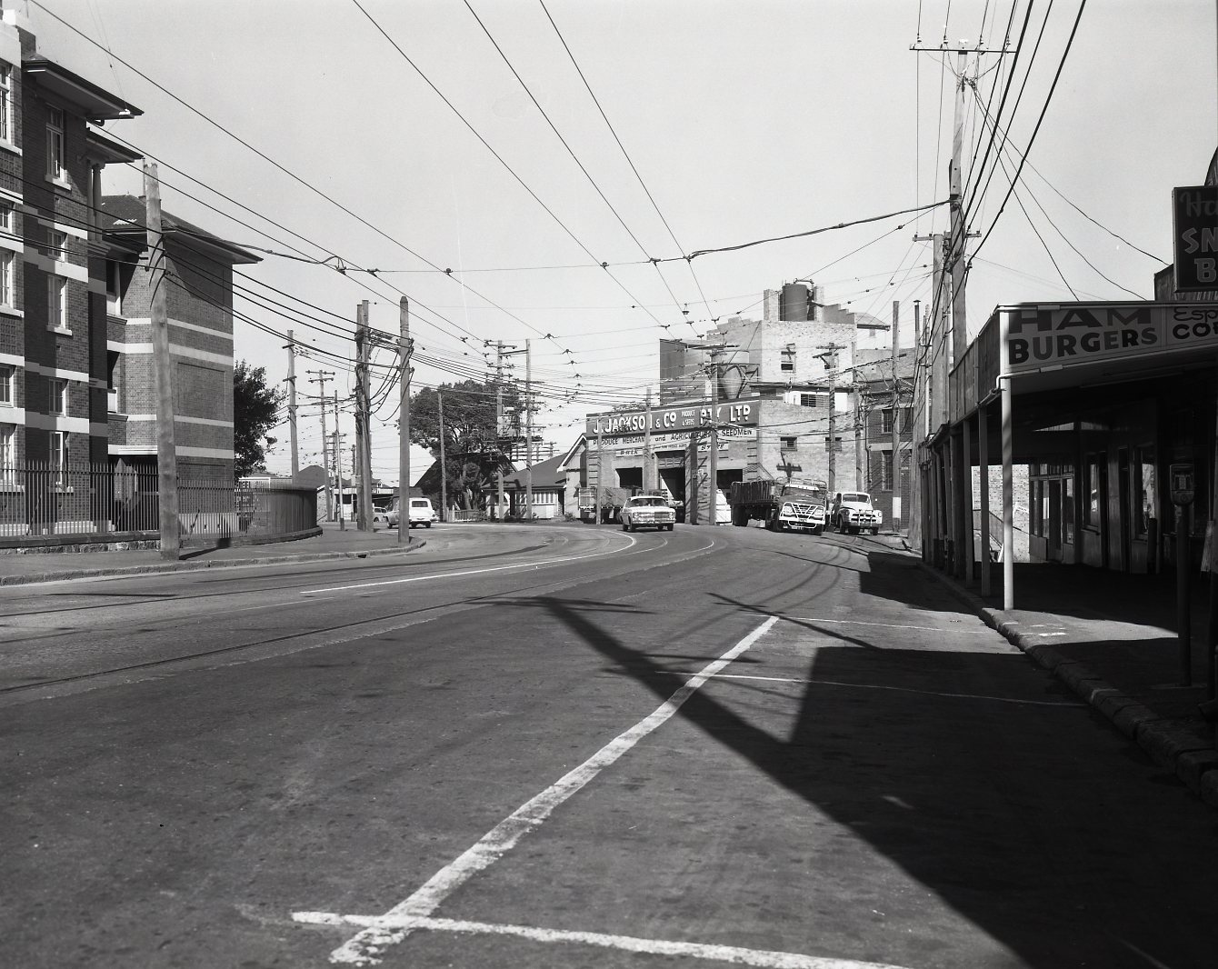
By the 1970s many earlier commercial and industrial uses disappeared. Over time many of these old spaces—boot factories, butchers, warehouses, substations and barracks— created opportunities for new uses. Residential housing stock largely remained and was increasingly used as sharehouses by students, actors, artists and musicians.
