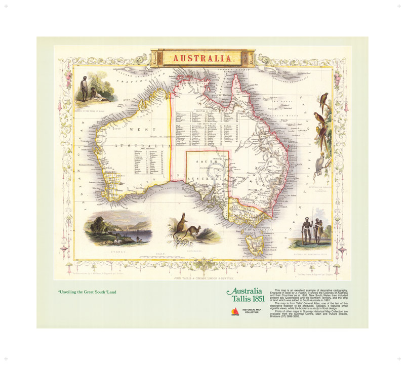
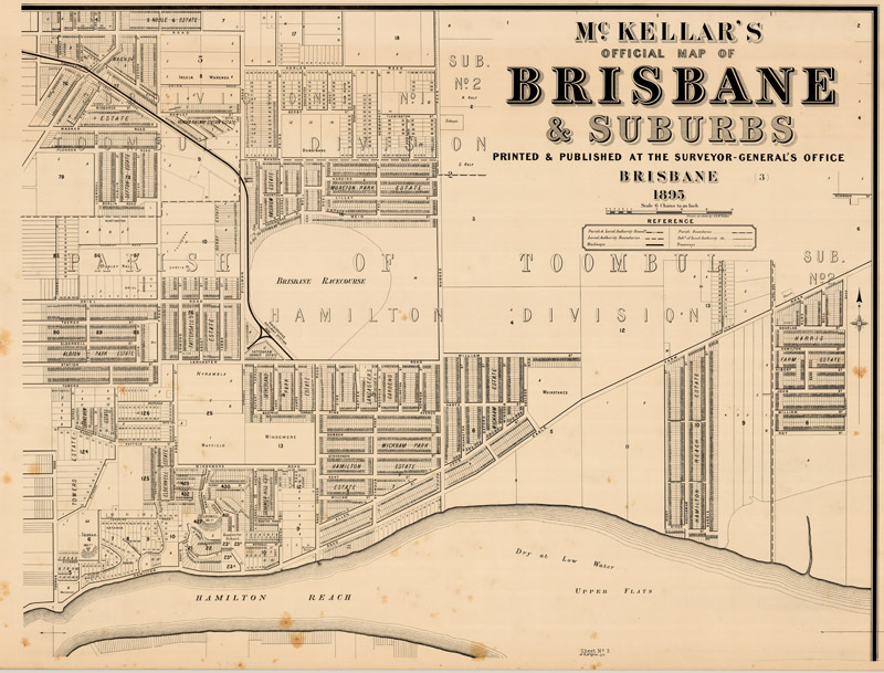
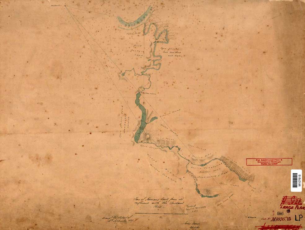
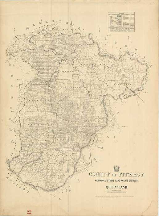
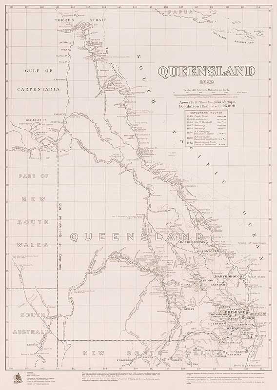
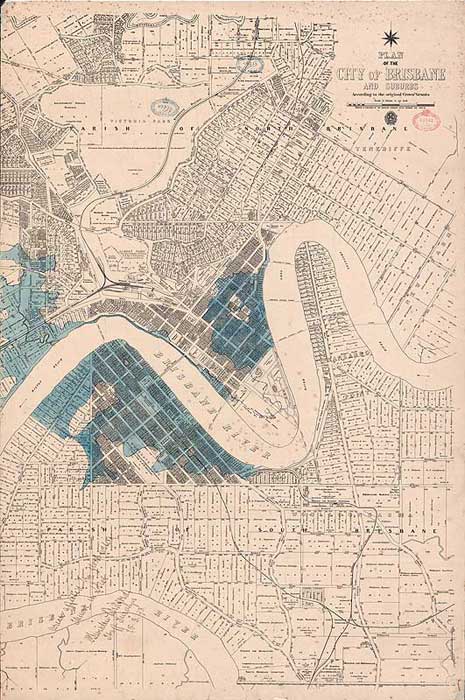
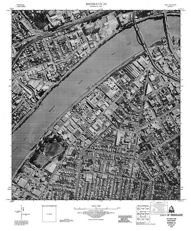
The historical maps topic is part of the Queensland Globe and provides users with the ability to search a range of historical map scans for any location in Queensland.
The steps below explain how to access historical map scans using the Queensland Globe’s historical maps topic. You can also view this information in the Historical map topic guide .
Access historical map scans
- Launch Queensland Globe
- Select Topics
- Select Historical Queensland
- Launch Historical maps topic
- Select Add to Globe
- Select Layers - default layer shows town maps
- Choose layers from those displayed – Cadastral layers are shown first and then topographic layers and finally the McKellar Georeferenced map layer.
- Select area you wish to locate historical map scans – zoom in or use Search option.
- On the top right-hand side, select the spanner to expand the toolbar
- Select the identify tool
- Select a location on the map. The layer panel will open on the left-hand side of the page.
- Select Town Maps.
- Select map of interest. Map details display including:
- map name
- description
- scale
- date published
- copyright status
- download link for map scan and size of file
- preview image (select to have it display)
- additional metadata.
- The Download link and Preview Image link when selected, display in new Internet tab.
Access a different layer
- To go back to a different layer if there is more than one Results layer shown, use the white back arrow in the Attributes section and then in the Features section to go back to the Layers summary.
- A different layer can then be selected.
- If there is more than one result in a layer, any of the results can be selected.
- Use arrows in black section to move through results.
It is possible to load specific linked map layers once the Historical map topic is launched.
Layers have been linked as:
- Cadastral early coastal maps
- Cadastral early detailed maps
- Cadastral parish county town and environs maps
- Cadastral early large coverage maps
- Cadastral standard maps
- Contour early detailed maps
- Contour standard maps
- Contour and image standard maps
- To choose any of these links, select Add layers.
- Scroll through the displayed options and open Imagery and base maps.
- Open Historical printed maps.
- Because only the default town maps layer is loaded, remove all selected layers. For the series of interest, click in the empty box to select it. The map of Qld updates with the loaded bounding boxes for the maps in the selected linked map layers.


