Artefact gallery
Heighting instruments
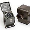
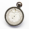
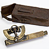
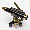
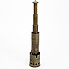
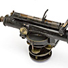
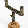
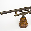
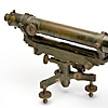
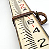
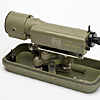
Heighting instruments are used to measure the relative heights and depths of points on the Earth's surface. Generally, the height of a point is related to a standard datum (i.e. mean sea level).
Differences in heights between points can be determined by direct levelling (i.e. using a surveyor’s spirit level and staff), by trigonometrical heighting (i.e. using a theodolite to read vertical angles between points), or by a less accurate method of barometric levelling (i.e. using a barometer).
In this guide:
- Distance measurement instruments
- Drafting and mapping instruments
- Angular measurement instruments
- Heighting instruments
- Surveying accessories
- Astronomical observing instruments and timekeeping
- Artefact gallery
- Photographic equipment
- Calculations


