Flood maps, flood data and resources
Local government flood maps and data
List of Queensland local government web pages with published flood maps, flood data and flood resources.
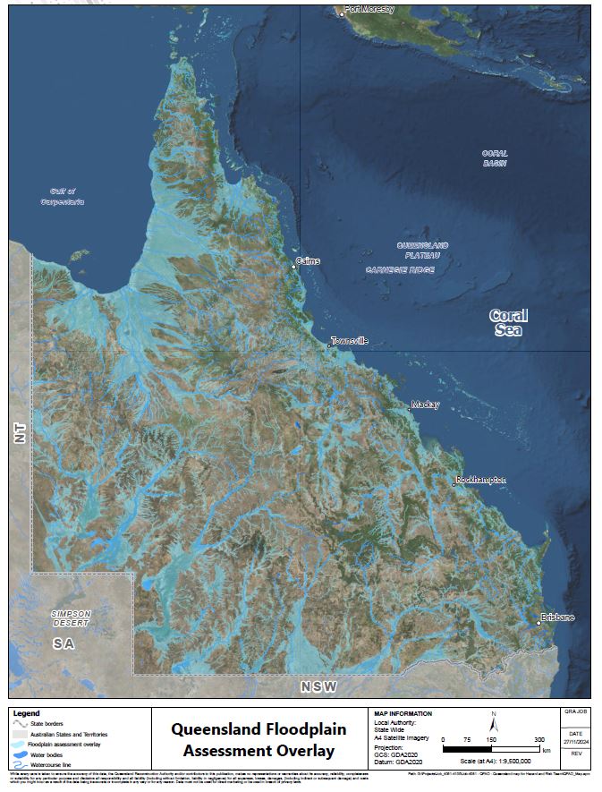
FloodCheck Queensland application
The Interactive map provides access to flood study extents and information to improve understanding of flood behaviour at a regional scale.
Water Data Online
The Bureau of Meteorology publishes water data, water status, water forecasts and information about water regulations and standards.
LiDAR capture
Light Detection and Ranging (LiDAR) capture is critical to define terrain which underpins flood modelling. Learn about current LiDAR initiatives.
Property Level Flood Information Portals
Property level flood information can be made available via Property Level Flood Information Portals (PLFIPs). Find out about current PLFIP initiatives.
Guides for flood studies and flood mapping
Supporting local governments, flood practitioners and disaster management groups with flood studies and flood mapping.
Flood terms
A comprehensive list of flood flood terms, definitions and references to support consistent communication about flooding.