Mount Morgan remediation project
Mount Morgan was founded as a gold mining town in 1882 with its mining operations continuing until November 1990. It was the largest gold mine in Queensland in the 19th and early 20th centuries, with about 250 tonnes of gold and 360,000 tonnes of copper extracted from the mine and about 134 million tonnes of waste rock and tailings generated.
- View a glossary of mining terms used on this page.
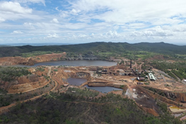
The site consists of an open pit, large waste rock dumps and tailings storage facilities as well as various buildings and infrastructure left over from mining and mineral processing.
In March 1991 an agreement between the Queensland Government and Mount Morgan Limited provided the requirements for decommissioning of the operations prior to the government releasing Mount Morgan Limited of further site commitments. We subsequently took over management of the legacy issues at the mine in January 1993 after decommissioning.
Through this, we have preserved the mining leases with a view that commercial reprocessing of the tailings for gold would help to support site remediation. This agreement restricts possible mining operations to the reprocessing of tailings and mullock dumps. However it also limits the liability of the mining lease holder for legacy mining disturbance.
Heritage Minerals Pty Ltd is currently developing a project to recover gold through the reprocessing of mine tailings.
Heritage and tourism
The Mount Morgan mine remains an area of historical interest. Approximately half of the site is listed on either the Queensland Heritage Register or the National Trust of Australia (Queensland) Register.
The site includes Fireclay Caverns excavated between 1906 and 1927 for clay to supply local brick making. Fossilised dinosaur footprints and trackways were discovered in the limestone ceiling of the caverns in the 1950s.
Tourism operations into the caverns providing viewing of the dinosaur footprints were stopped in 2010 after several rockfalls within the caverns. General mine site tours ended for safety reasons in 2018.
In order to facilitate potential future tourism opportunities, and as part of the transfer of mining leases to Heritage Minerals in 2020, we have removed mining tenure from a number of potential tourism areas, including the Fireclay Caverns, to make them available for any potential future tourism venture.
We are working with the Rockhampton Regional Council as it explores opportunities for safe tourism ventures at the site, focusing on the Fireclay Caverns.
Project snapshot
Region: Central Queensland
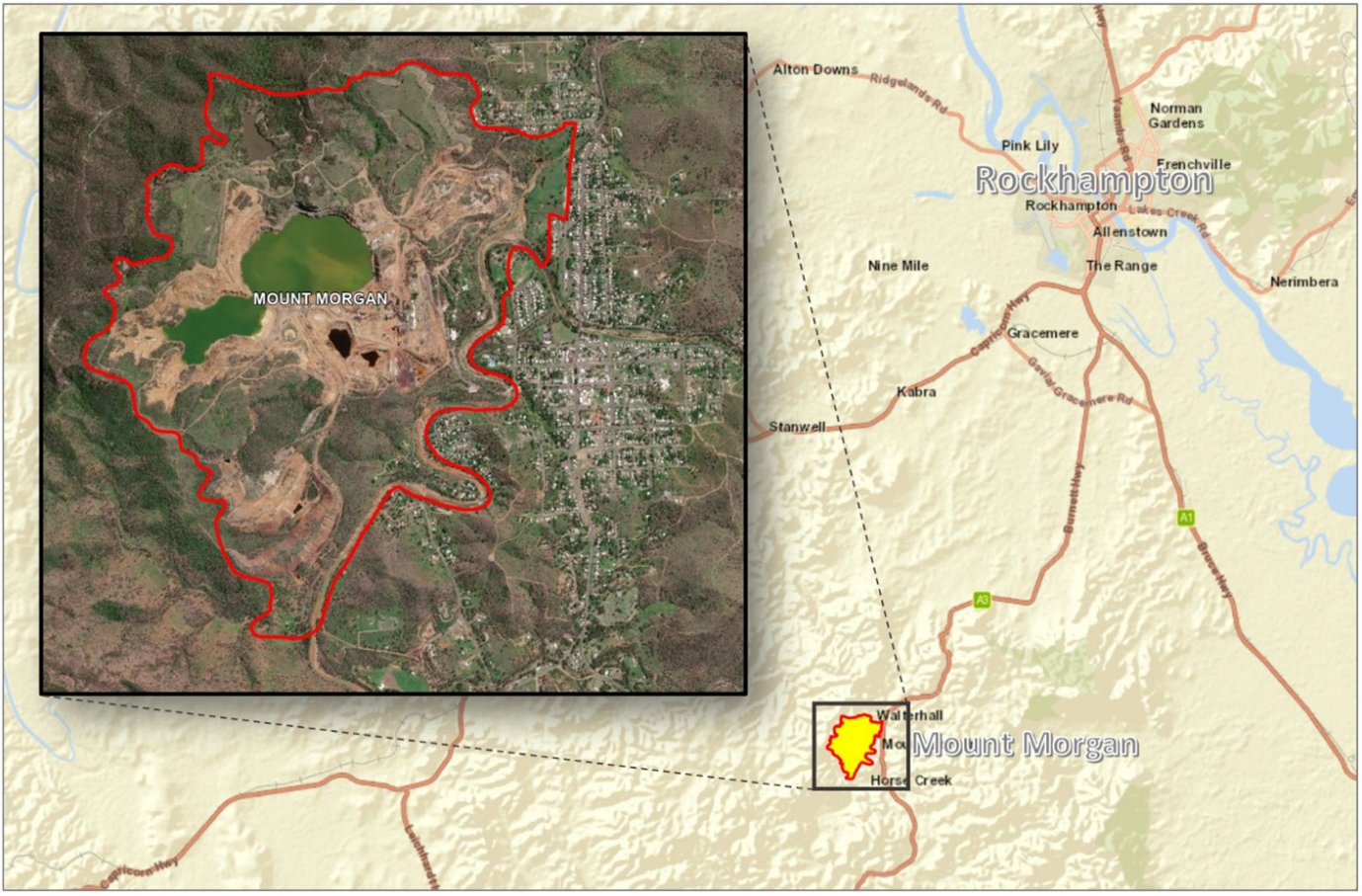
Location: 32km south-west of Rockhampton, Latitude -23.641111, Longitude 150.372101
Commodity: Gold and copper
Mining type: Open cut and underground
Date of abandonment: N/A
Status: Ongoing care and maintenance and re-commercialisation.
Native title interest: Gaangalu Nation People represented by Queensland South Native Title Services Limited
Public land registers: Listed on the Environmental Management Register
Photo gallery
Key risks
Health and safety risks associated with:
- open pit, tailings storage facilities, waste rock stockpiles and historic mine shafts
- potential instability of the Mundic Gully Embankment in a pit overflow situation
- mine affected water on site and in the Dee River near the mine site where water is not suitable for drinking or recreation (for example swimming or fishing)
- unstable historic structures and buildings
- stability of the Fireclay Caverns.
Environmental risks associated with:
- uncontrolled release of mine-affected water from a mine pit overtopping event
- poor quality water associated with acid mine drainage on-site and downstream in the Dee River, including tailings storage facilities and tailings stored in dams along the Dee River.
Completed works
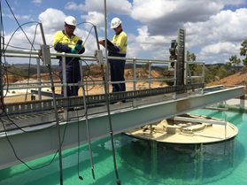
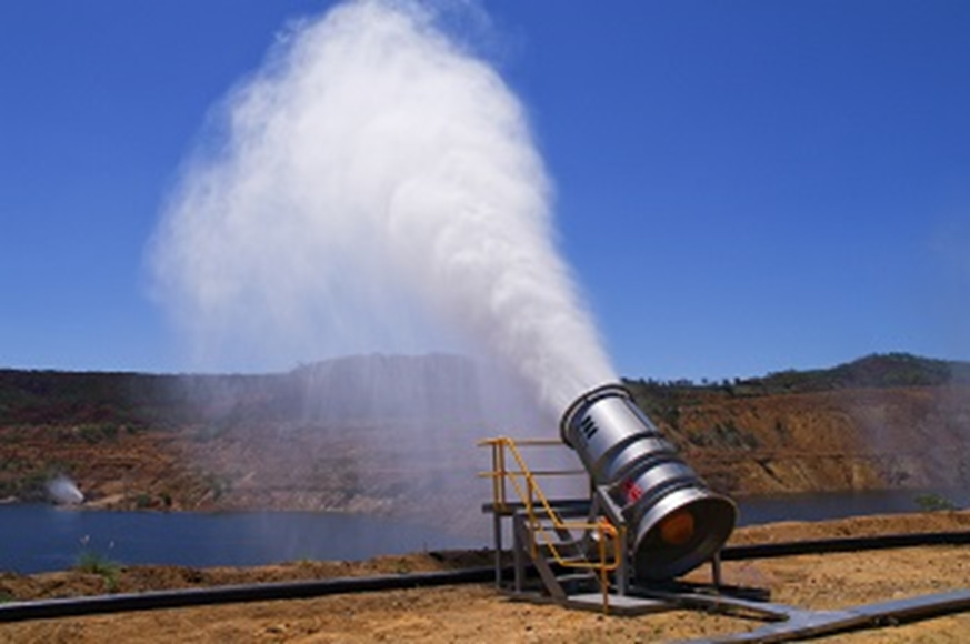
- Ongoing operation of a lime-dosing water treatment plant, along with the installation of 3 large industrial land-based evaporators and a bank of 5 floating evaporators to increase mine pit water level reduction - the pit water level is approximately 5.8 metres below the spillway, its lowest level in more than 20 years
- Sealing of the Dam 8 upstream wall and installation of high-capacity pumps to reduce the mine pit catchment by more than 40%. This will reduce the amount of freshwater entering the open-cut pit in any given wet season, assisting in maintaining lower pit levels and reducing ongoing water treatment costs
- Installation of a reverse filter and remote monitoring equipment to improve safety and monitoring of the Mundic Gully Embankment
- Upgraded high-voltage electrical infrastructure to provide greater safety and security of power for site operations
- Implementation of an environmental monitoring program, with stream and groundwater quality sampling routinely undertaken down the Dee River and into the Don River. Monitoring is extended further downstream during large flood events
- Systems to provide downstream landholders with notice of potential water quality impacts from large rain events
- Removal of unstable historic dams adjacent to the mine site including 400,000m3 of tailings and acidic water
- 3D image survey of historical buildings and site characteristics
Planned works
- Continuing work with Heritage Minerals to facilitate reprocessing on site
- Continuing work with Rockhampton Regional Council on safe tourism opportunities on site
- Make safe of unstable buildings and removal of asbestos material in line with Queensland Heritage Council approvals


